


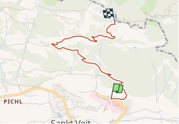

3,7 km | 9 km-effort

Tous les sentiers balisés d’Europe GUIDE+


Kostenlosegpshiking-Anwendung
 SityTrail
IGN / Geografische Institute
SityTrail World
Die Welt öffnet sich für Sie
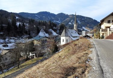
Tour Zu Fuß von 3,1 km verfügbar auf Salzburg, Bezirk St. Johann im Pongau, Sankt Veit im Pongau. Diese Tour wird von SityTrail - itinéraires balisés pédestres vorgeschlagen.
Trail created by TVB St. Veit - Schwarzach.
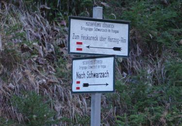
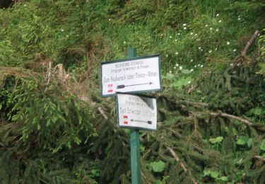
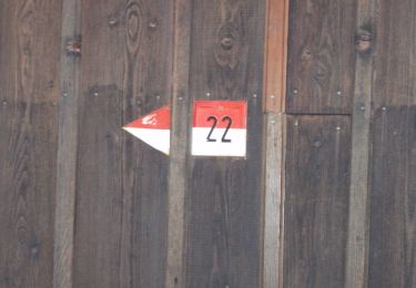
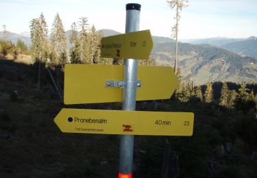
Symbol: rot-weiss-rot 23b


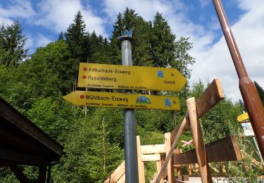
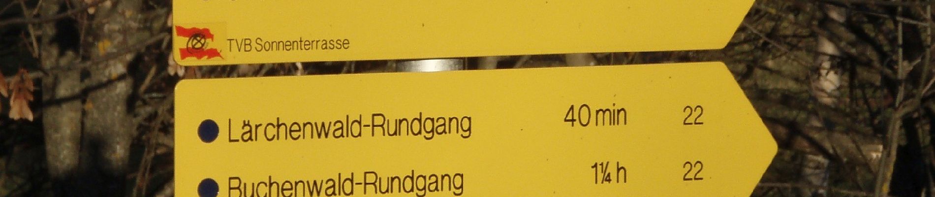
Zu Fuß
Zu Fuß
Zu Fuß
Zu Fuß

Zu Fuß
Zu Fuß
Zu Fuß
Zu Fuß
Zu Fuß